Pittsburgh 3D Map
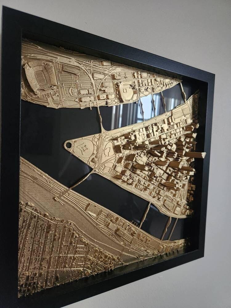
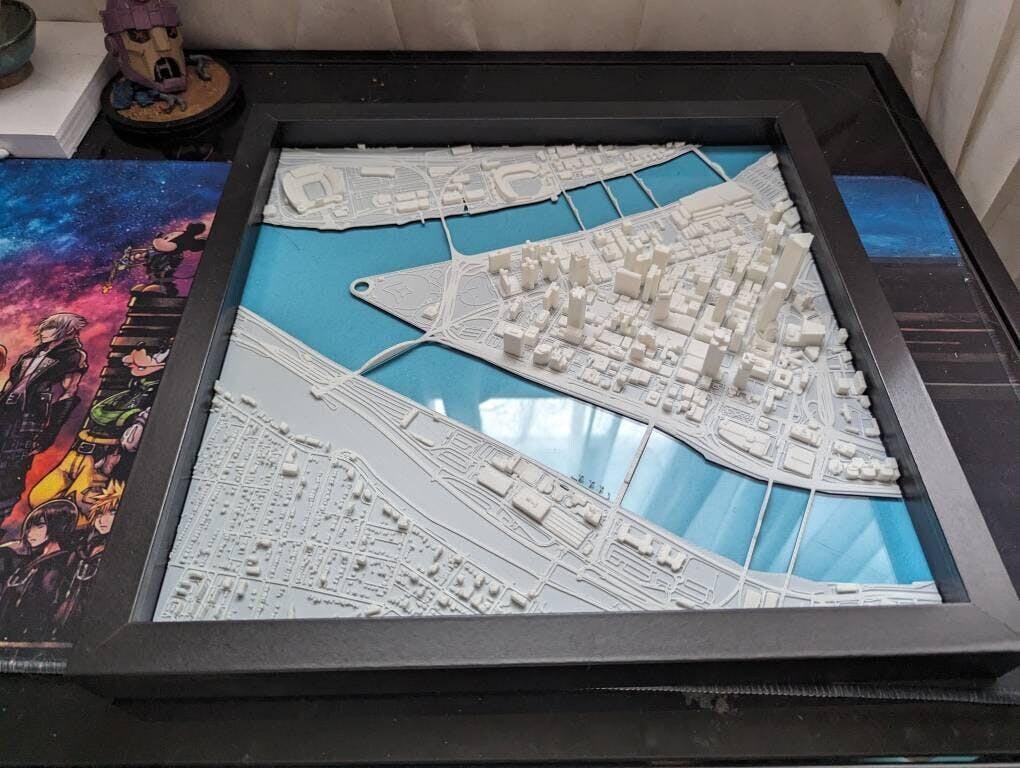
The Downtown Pittsburgh Golden Triangle and river confluence as a 3D map, extending from Point State Park east past Grant Street toward the Cultural District. Every structure is printed at its true relative height, so it rises off the historic riverfront grid and casts real shadows.
Prominent features: Acrisure Stadium, PNC Park, PPG Paints Arena, UPMC Tower, One PPG Place, and the iconic fountain point at Point State Park.
Crafted for: Eye catching display for Steel City natives, Western Pennsylvania locals, or anyone who relocated away but still holds fond memories of crisp Allegheny evenings.
Every roofline, cleaned by hand
Most 3D maps just stack flat blocks. This one starts from LiDAR, which is laser scanning done from aircraft, and I spend tens of hours per city correcting the detail other maps flatten out.

Real height, real streets
The buildings are printed at their true relative heights, so the tallest towers stand over the rest of the skyline the way they do in life. Streets, parks, and the water sit exactly where they should.
Choose blue or black water to match your room. Premium adds a glass pane over the water that gives the whole city more reflectivity and depth.
Essentials or Premium
| Essentials | Premium | |
|---|---|---|
| Sizes | 11 inch & 13 inch | 13 inch |
| Frame | Modern flat wood frame | Upgraded gallery frame |
| Glass depth | Not included | Reflective glass pane |
| Water color | Blue or black | Blue or black |
| Detail level | Full hand-finished relief | Full hand-finished relief |
| Price | $29.99 to $49.99 | $99.99 |